How can I use the Pedestrian Portal’s Explore tools to view sidewalks, crosswalks, and ramps in our region?

  • Anyone can view sidewalk data in the “Explore” mode. No login is required.
  • Want to help us improve the inventory? Register to become an editor to edit and/or add sidewalks, crosswalks, or curb ramps in “Edit” mode.
  • Are you a planner in the region? After you register and confirm your account, request access to the “Plan” mode to access planning tools.

Overview Map

The Pedestrian Portal’s Explore tools are available here. When you first visit the Explore map, you will see an overview of our region with sidewalks on the map in blue. A notice on the screen will tell you to ‘Zoom in or search for a location.’ Other pedestrian features (crosswalks and curb ramps) will appear when you’re zoomed in to the neighborhood.

Explore: Zoom

Zoom and Pan

The + button will let you zoom in on the map, the – button will let you zoom out, and you can click on the map and move your cursor in any direction to pan or move the map.

Explore: Attributes

Feature Attributes

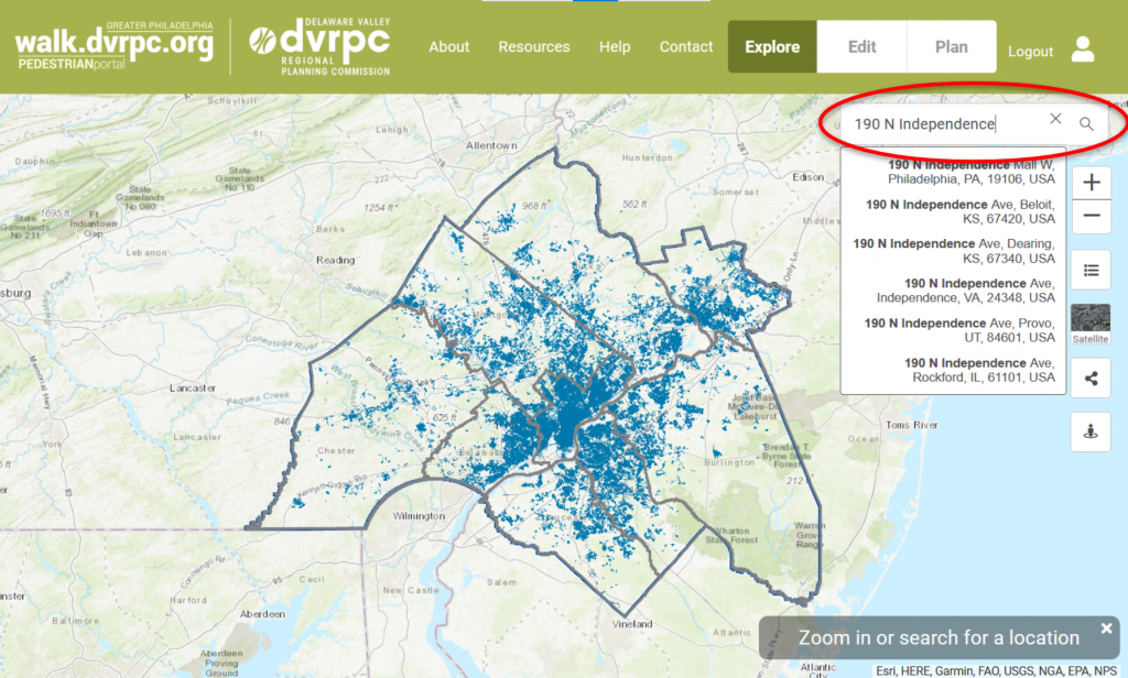
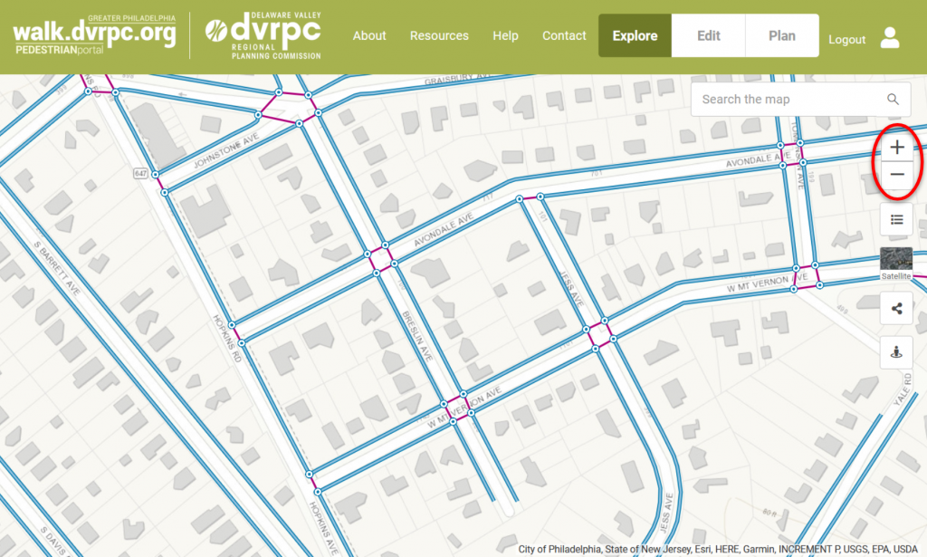
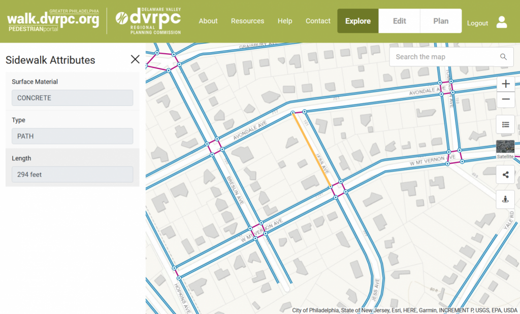
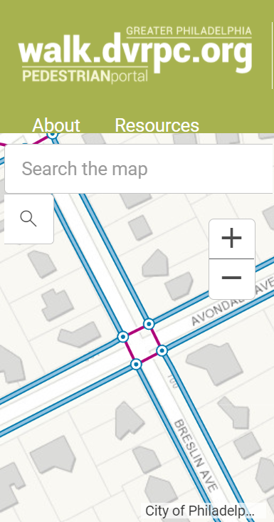
Once you are zoomed in on a specific location, you can click on the blue lines (sidewalks), the magenta lines (crosswalks), or the circles (ramps) to view details about the feature. A sidebar will open showing relevant attributes. For sidewalks, attributes displayed will include the surface material (mixed, asphalt, concrete, brick, etc.) and type (if it’s a path, grade-separated or unknown). For crosswalks, other attributes include if the crosswalk is raised, if it includes pedestrian signalization, and the type (unmarked, decorative, diagonal, etc.). For ramps, other attributes include the ramp’s position (island/median, mid-block, multi-directional, etc), and if the ramp has a detectable warning surface. To learn more about the attribute terms for pedestrian features, view the visual glossary.

Explore: Map Tools

Map Tools

To the right of the map, you will see additional buttons below the search field and zoom buttons that you can use to:

  1. Turn on and off layers, including sidewalks, crosswalks and ramps. You can use the transparency slider to adjust the transparency of these layers.
  2. Toggle between basemaps, including either recent aerial imagery (NearMap) or the default street map.
  3. Share your current view of the map by copying the link and emailing it. If you register as an editor, you can also save your bookmarks to access them once you are logged in. 
  4. Inspect an area with Google Street View, by clicking on a street to view. 
Mobile View: not recommended

Mobile Screens

For the best experience possible, we recommend exploring the map on a desktop or tablet screen. While the map can be viewed on smaller mobile devices, some of the detailed features that are easier to view and interact with on larger devices are not included for smaller screens.